
Full tides are a treasure for curious kayakers. They drown the landscape and grant a window of access to places usually off limits. They are not wasted by those of us with sticky beak tendencies. Bring in bushwalkers who are as agile as cats and you can get anywhere. Or so we thought.
There are not many places left in Moreton Bay we have not poked our noses into. A 2.6m tide was an opportunity to have a look at Canalpin Creek on North Stradbroke Island which, by its appearance on Google Earth, looked like it may harbour some promise.
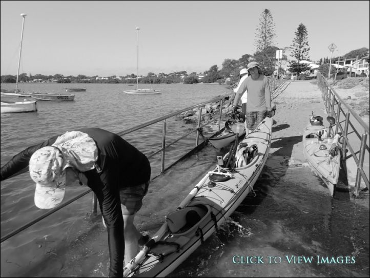
There was a good turnout at Point Halloran. The tide and numbers necessitated a staged get away from the sandy beach bounded by stainless handrails. I love landing here where the tide is this high. Just need to make sure the ramp is clear, get some speed up, ram the snout of the boat into the soft sand and hop out pretty quick.
It was a casual paddle over to Potts Point on MacLeay Island where we turned in to enjoy a fine spread of goodies. When we were back on the water and heading for Stradbroke Island the group started cleaving in two. One person will sail even if it takes them in a different direction to the agreed destination. Another you would be wise not to follow because they never really know where they are going. These two were accompanied by a reliable paddler, the sight of which reassured the others tailing up the rear. Turns out the creek Graham had in mind was the one to the north of Blakesleys, not Canalpin.
While they headed north in concert with the wind, we southerners downed sail and took to the blades. Just off Pelican Banks to the north of Macleay Island I saw a large grey shape coming towards me. I thought it was a dugong and became especially keen on staying in my boat when the boof head of large bullshark passed directly beneath me.
It was when we disappeared into the mangroves that the northerners thought it odd. They were not keen to bash into the headwind to try and find us so decided to have lunch and stage a dessertion. We in the meantime, were looking for a place to land. Most of the area offered steep banks bounded by deep water. While we suspect the bushwalker could have scrambled up the massive tree trunk, he declared he was not cross training today. On a return trip we discovered we had been looking in the wrong area. Once you are in the protection of the mangroves and the creek widens out, head to the left where the mangrove ferns are. You will see a large paperbark tree straight ahead. The water looks deep, but on a big tide it will at most be a foot deep. Indeed, if you feel around in the mud you will find you can tie your boat to the roots of this magnificent tree while still out amongst the ferns. But it was not to be this time, our cat did not want to get his feet wet.
We had a relaxing sail back up to a by now abandoned Blakesleys for lunch before an enjoyable beam reach back to Point Halloran.
