Getting to Girraween can be as much of a weekend away as being there. This time we decided to go via Boonah to Moogerah Dam, then take a back road that would pop us out behind Storm King Dam, onto Pyramids Rd entering the National Park from the
northern end. Well that was the plan. There were times when we thought the weekend might be spent in a tent on the side of the road.
Heading out via Amberley we realised that we had left the flat bread and hammer behind. Not a tent peg mallet, a proper hammer. The last time we had pitched a tent at Girraween the ground was so hard that driving wire tent pegs almost killed the plastic
mallet and left it with a crater face. Turning left at the top of
town we had to drive the entire length of the shopping strip as
the only parks were on the very edge of town. Walking back up the hill was like stepping back in time, light years from the slick blandness of a suburban shopping centre. Sure, the so called big brands and services were there, it was just that you might find them behind the counter of a local store. Conversations floating
up the street centred around an iphone were about dressage, the
elderly sat on their walkers and watched people wander by chatting to those they knew. We like to find the camping store in small towns as they often carry stock not seen elsewhere. As we stepped in the door on the left was a display for Thule roof racks, on the wall a rack with Ultra PFD Type 2 life vests, next to it a light weight cag. This place was a right Aladdins cave, not only for paddlers but bushwalkers or people travelling
overseas. It may not have been a big store but the stock had been
chosen by someone with a discerning eye. A magnificent cream quilt was handed over the counter. True to form this shop was also the agency for the dry cleaners and local home brew. Check it out the next time you are in Boonah.
Having scored water bladder refills, a hammer from the $2 store, flat bread from the IGA (where the a selection was as good as
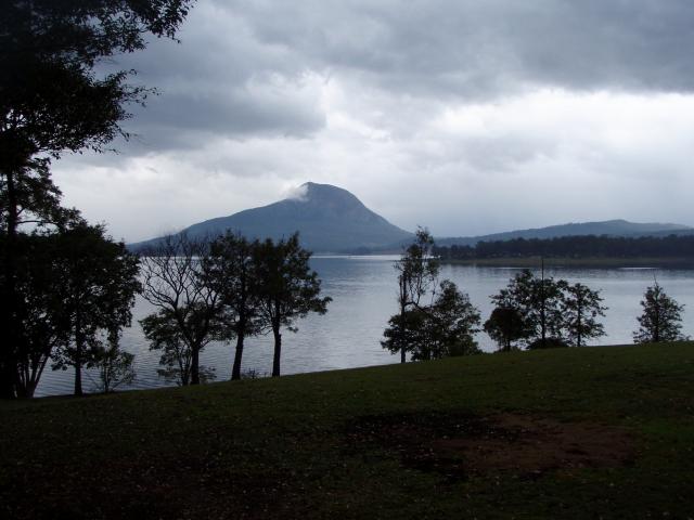
Woolworths at Camp Hill), we headed out on the wrong road for Moogerah Dam. The Google instructions didn't make sense, the map even less. Thank goodness for road signs. It took a cream bun, a coffee and the tranquillity of the lake to settle my feathers. I am a truculent navigator if I don't have a clear sense of where
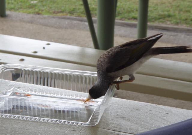
we are on the map. A noisy and nosy minor was the first to also make himself at home at the table. Having spied the jam smudges on the packaging he contorted himself and licked it off with a methodical efficiency that had to be seen to be believed. His contortions inevitably resulted in the packaging flipping over which while startling him, did not put him off. The lorikeets,
butcher birds, magpies all came in but it was the minor who got the jam.
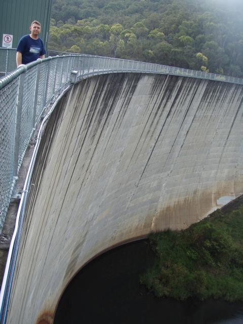
Walk across Moogerah damn wall and look over the downstream side half way across. Six feet at the top, 16 feet at the base in a hyperbolic curve means that you cannot see the bottom of the wall. There is no way I could bungy jump, I couldn't cope with a peek into the void without a serious attack of heebie geebies.
Written instructions taken from Google and a fine red line on the
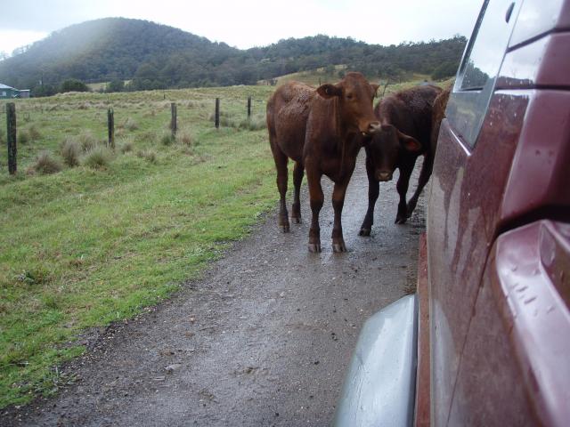
map with no name had us turning left onto Croftby Rd. It was raining, the dirt road greasy. There was no traffic, no homesteads, just cattle and it was very unclear as to where this was going. The countryside was becoming more spartan. Eventually we popped out onto a road that followed the Teviot River and took us to The
Head.
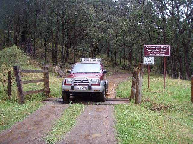
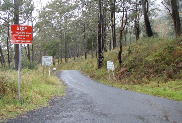
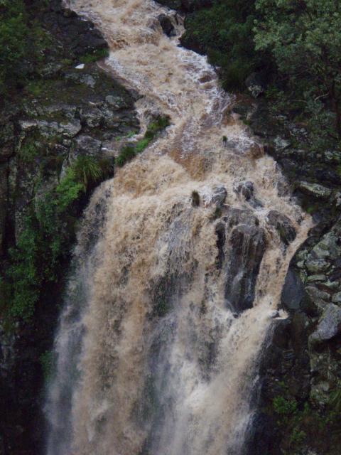
Here the road split and we took the right hand fork to follow the Condamine River. After being chased by cattle, a couple of grids later we came to signage that indicated the road crossed the Condamine River 14 times. By now there was a lot of run off, the road was getting very soft and muddy. The prospect of a rising river had us turn tail and follow the Falls Way. Running just inside the Queensland border along the ridge this
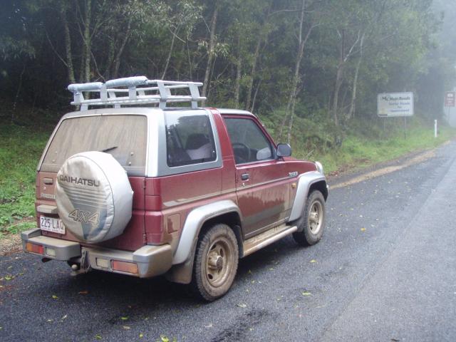
sealed road took us into the clouds and by lookouts that were whiteouts. There were large brown signs suggesting photographic
opportunities but the only thing in focus was one grubster of a Feroza.
Time for fuel. Killarney was the next stop where we were served by a local at the co-op who we later found out has been working at the same place for over 50 years. He was very friendly and asked if we were following on of those sat nav things. Chuckling as he asked, he said they were very good at getting people lost
on roads that did not exist in the area. In view of the recent rain he also suggested we go to Girraween via Stanthorpe, not the fine red line I was eyeing up on the map.
After Legume it was onto the dirt - a beautiful wide road with few corrugations and with recent rain, no dust. Ignoring the suggested turnoff to Stanthorpe it was right onto Sugarloaf Rd just before Wilsons Downfall. Now it was guess work as none of the roads around here were named on the map or in life. We missed
the turn off to Storm King Dam and drove through what appeared to
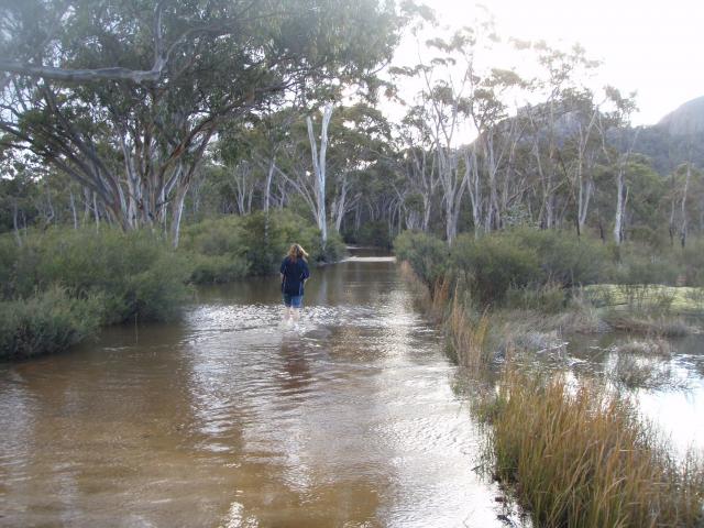
be the southern end of it instead. A bit of guess had us on Neilsen's Rd and the 4WD adventure began in earnest. The Feroza might be a bit underpowered for weight, but it is not a soft roader. We came across a creek with guide posts half way under
water. Time to take the shoes off and walk. Wishing I had a stick and being ready to walk on water at the sight of a swimming snake it became clear these crossings had a concrete base. With hubs locked in there were more opportunities to wash my tootsies.
Don't think I would be a keen volunteer to do the same anywhere
north of Townsville. Eventually a sign post fessed up to Pyramids
Rd - somehow we were following the Google written instructions
again and about to come into Girraween.
It had rained 2 inches overnight and water was running everywhere, in the streams, down the side of the road, or filling marshy lakes that took over the road. More wet toes. Once in the national park a road works signed warned about a grader. Around the corner and we were in it, right good and proper. Slewing over the road in soft sludge with no firm base it was time to lock the hubs again and hope the car could crawl out of the slush once stopped. No worries, a bit more grubby, but nothing another creek
crossing couldn't deal with.
We came into the camp ground to find Graham and Christina set up in a way that would make a kayaker blush. Their camper trailer had everything including a kitchen sink. However there no sign of Dean or Alison - we wondered where they might have ended up, turned out it was stuck in traffic, not a creek.
With hammer in hand we were usurped by the rain. The fly needed sand pegs, in some cases double pegging the ground was that soft. We knew it would be cold so this was an opportunity to try out the down filled inflatable sleeping mats that are aspiring to supplant the blow up air mattress.
|